The navigational equipment of the An-26 was a
tremendous advancement to the equipment of the IL-14, which consisted
only of two radio compasses ARK-9 and an SP-50 landing system.
The navigation system KURS MP-2 allowed the use of VOR and the
approach to the ILS and SP50 instrument landing systems. Two automatic
radio compasses ARK-15 ensured the indication of the course angle radio
beacons in the medium and long wave range. The distance to DME ground
stations can be determined with the aid of the SD-67 rangefinder. The
transponder SOM-64 enabled the ground stations to determine the location
and display the flight number and altitude.
The on-board radio measuring system GROSA-26
allowed the panoramic representation of the Earth's surface, the
location of thunderstorm zones and the determination of their most
dangerous sections, the location of aircraft and the solution of
navigation tasks.
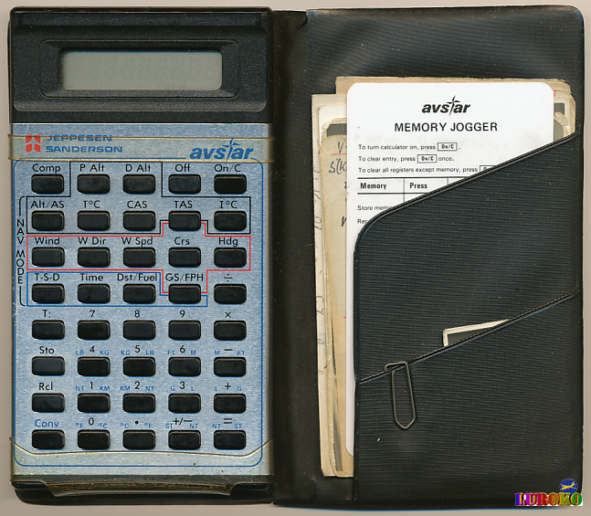
Despite DME, VOR, ILS and Bordradar navigation was still "manual
work". Not to compare with today's possibilities.
Tools for navigation
![]()
Navigation slide rule NR-10 from Mantissa
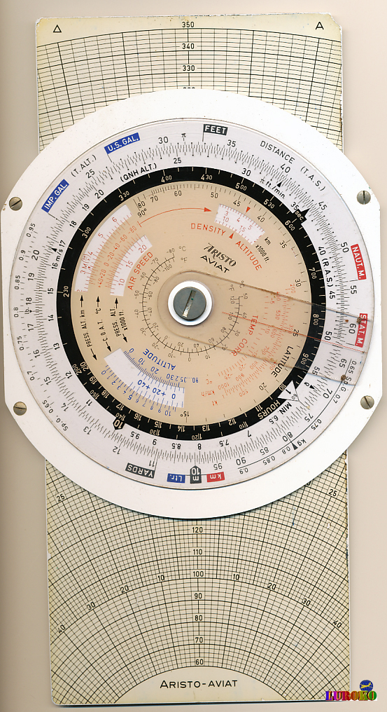
ARISTO AVIAT 617
Copyright © 2019 by LUROKO